Netherlands Maps and Satellite Images
Over 100+ hours of expert travel research on Netherlands, now presented to you in a short and easily digestible format for Free. Bookmark and save this page for future reference and updates.
Location of the Netherlands on the World Map
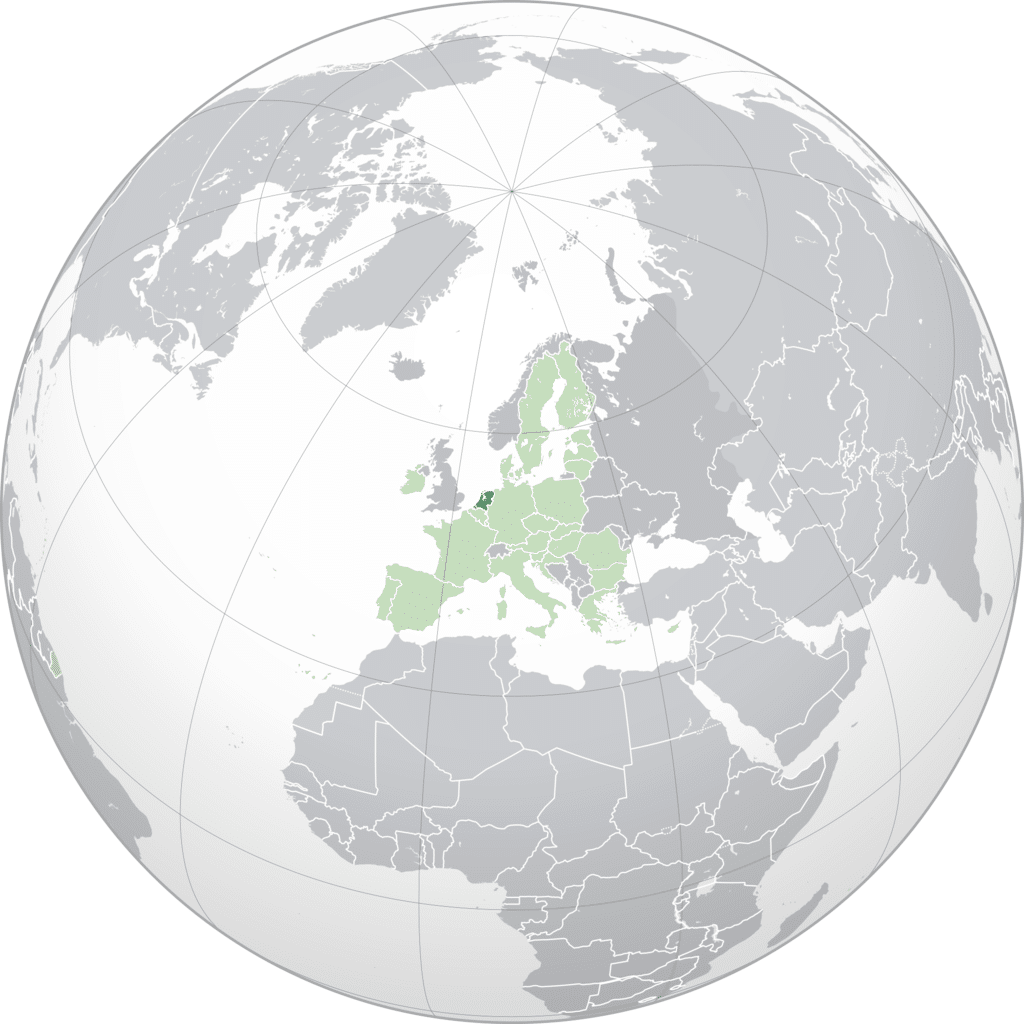
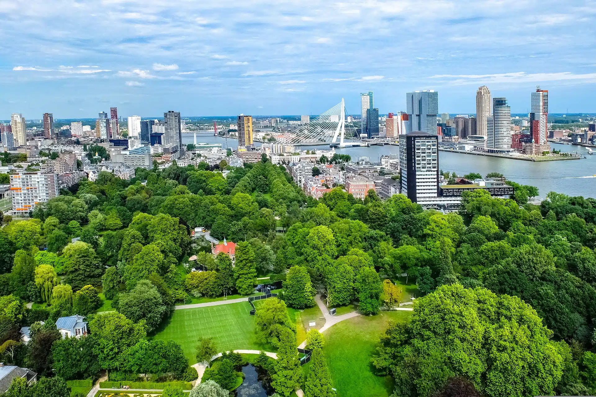
The Netherlands is located in Western Europe and is bordered by several countries and the North Sea. To the north and west, it has a coastline along the North Sea. To the east, it is bordered by Germany. To the south, the Netherlands shares a border with Belgium. The country is known for its flat landscape, extensive canal systems, tulip fields, windmills, and cycling routes.
The Netherlands also includes several islands in the Caribbean, known as the Dutch Caribbean, which are special municipalities or constituent countries within the Kingdom of the Netherlands.
The Netherlands' Bordering Countries: Belgium and Germany. It is also in proximity to several other European countries across the North Sea, including United Kingdom and Norway.
Explore Poland on Google Maps
Netherlands Hotels Map
Easily navigate your Netherlands journey with our map. Book hotels, vacation rentals, and activities hassle-free. Filter your search to find best deals and explore hotspot areas of with our heatmap feature.
Book Netherlands Trip
Prepare for your Netherlands trip now. Use our trusted partners for great rates and a hassle-free booking experience. Easily book your Hotels now without advance payment and cancel anytime.